The management of ever-increasing traffic volumes and congestion levels is one of the most critical challenges faced by modern human society. This problem further magnifies, particularly at urban intersections. There are only limited viable options available for the expansion of existing infrastructure.
It has become critical to monitor and analyze the state of traffic flow at urban and suburban intersections. However, this requires an accurate, dynamic, and quick inflow of traffic data. The collection of detailed traffic data with traditional equipment, like manual counters, induction loops, fixed video camera systems, etc., is an expensive and difficult process as it either requires a large amount of installed sensors/equipment or a high number of deployed staff in order to cover the entire network. Such data cannot be used to estimate the densities, as well as other more complex traffic flow phenomenon, such as the process of accumulation and dissipation of queues at the intersections. It is not practically possible to cover the entire network with fixed sensors or deployed staff.
Now if you want to solve this problem by modern days of computers, they certainly give us the solution. Researchers have already developed route-finding algorithms which can minimize the possible impact of traffic by if given the data. But this is true for a small scale where you are monitoring single or cross the road. But how would you control the traffic of entier city?
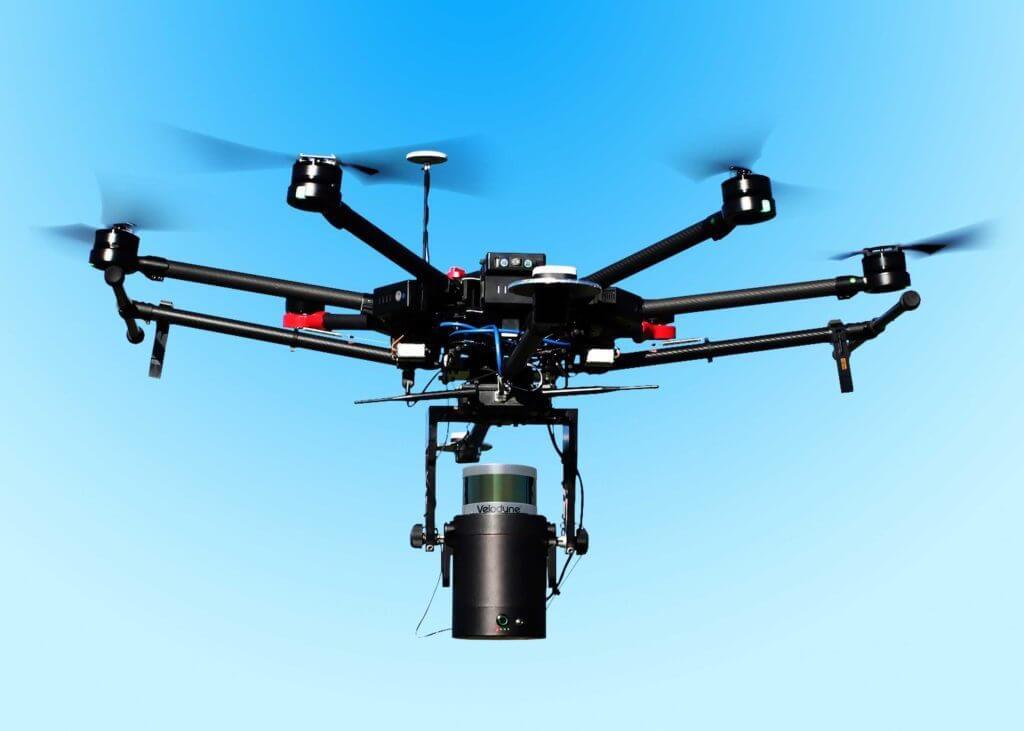
UAV or unmanned aerial vehicle is the answer. And recent innovation into increasing the capabilities of the camera allows taking images from the sky and zoom in to the very small detail.
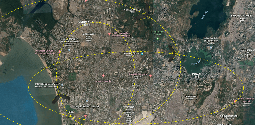
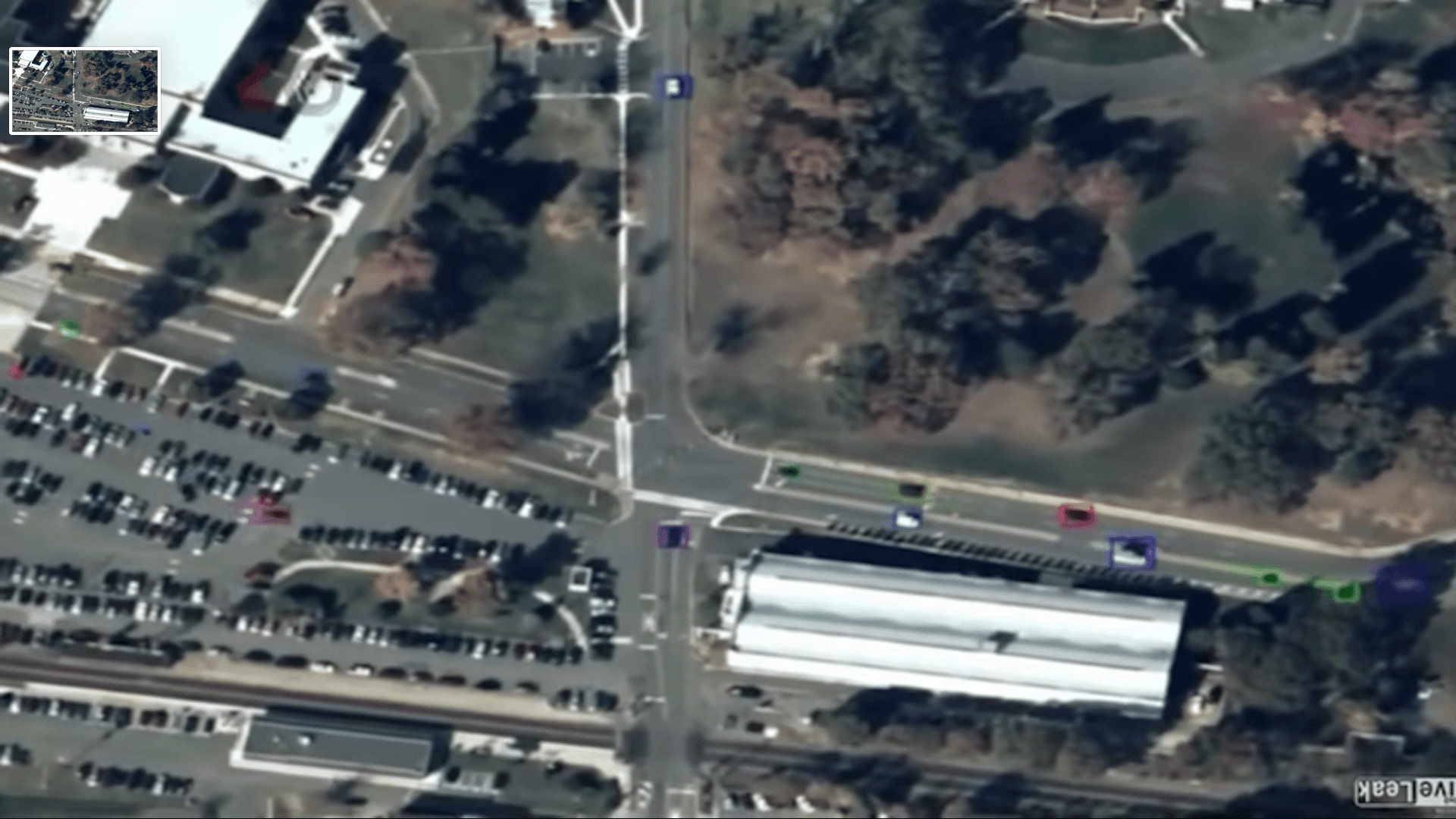
The data captured by UAV contains much complex information than those by the traditional monitoring system. UAV’s videos include not only the traditional data such as the traffic flow average speed, density, and flow, but also each vehicle’s level data, such as vehicle’s trajectory data, lane change data and car following data on the road. In addition, the data from a frame of a UAV’s video contains multiple vehicles and the frame frequency of the UAV’s video is very high, thus the data size from the UAV’s video is very large.
As this is a recent technology and the actual applications, particularly for traffic data collection, have not yet fully developed, some considerable concerns and limitations still exist, such as limited battery time of UAV, safety concerns. But eventually, this will get common among us for various application of UAV technology.